
Fort Smith Neighbor Source Map
The right source depends on what “neighbor” means. The Sebastian County GIS and assessor describe land and ownership. CityView describes permit or code activity at a selected property. VoterView lets a person verify their own registration. A state or county voter-file request has separate rules and may omit protected addresses. Fort Smith Public Library directories show named occupants at a past publication date. Historic districts and watch groups describe community structure, not private membership.
| Source | What It Shows About a Block | Access |
|---|---|---|
| Sebastian County GIS and assessor | Touching parcels, public owner roles, situs, map context | Public map and property record; counter fallback |
| Fort Smith CityView | Permit, inspection, and code activity for one location | Address or parcel autocomplete; FOIA fallback |
| Voter records | Registration or precinct data within statutory limits | VoterView self-check or formal data request |
| City directories | Occupants and businesses in a past publication year | Library hard copy and partial microfilm |
| Historic and civic groups | District boundaries, projects, and public community contacts | Published city material; no umbrella member roster found |
Owners are not always occupants. A tax-mailing address can differ from the property's physical, or situs, address. The assessor's homestead credit can suggest owner occupancy, yet it cannot identify every person in the home. That limit belongs at the center of any local block search.
Map a Fort Smith Neighbor Block
The safest block method is spatial. Start with one address in the Sebastian County Interactive GIS. Accept the public mapping disclaimer, open the map, and zoom until parcel lines and addresses are legible. Select only the parcels that visibly touch the subject lot. Research did not verify a named buffer or radius tool, so do not invent one or guess an address range.
- Locate the subject address or parcel and record its situs, parcel number, and legal description.
- Click each visible touching parcel one at a time, preserving the public owner name and parcel identity.
- Compare situs and tax-mailing fields, then note a homestead indicator only as owner-occupancy evidence.
- Use CityView for selected-address permit context and a dated directory for an older block snapshot.
- For every parcel along a whole named road, switch to the Fort Smith street directory workflow.
The flow is simple: address → mapped parcel → touching parcels → public owner roles → historical block snapshot. It creates a map of records, not a claim about every current household member.
Note: Corner lots and vacant parcels may carry a situs number that does not fit an assumed street sequence.
Fort Smith Neighbor Voter Limits
Arkansas VoterView is a self-verification tool. It asks for first name, last name, date of birth, and county, then can return registration, polling-place, and sample-ballot information. It is not a browseable street or neighbors directory. A non-match might come from spelling, recent processing, inactive status, cancellation, or protected data. It does not prove that a person is absent from the block.
Broader voter information follows the written Arkansas voter-data request route. The state request can distinguish registration data, participation history, or a combined file. Participation history records whether a voter took part in an election, never ballot choices. The Sebastian County Election Commission conducts and tabulates elections, while the County Clerk serves as registrar.
The official Election Commission source assigned to the neighborhood page appears here.
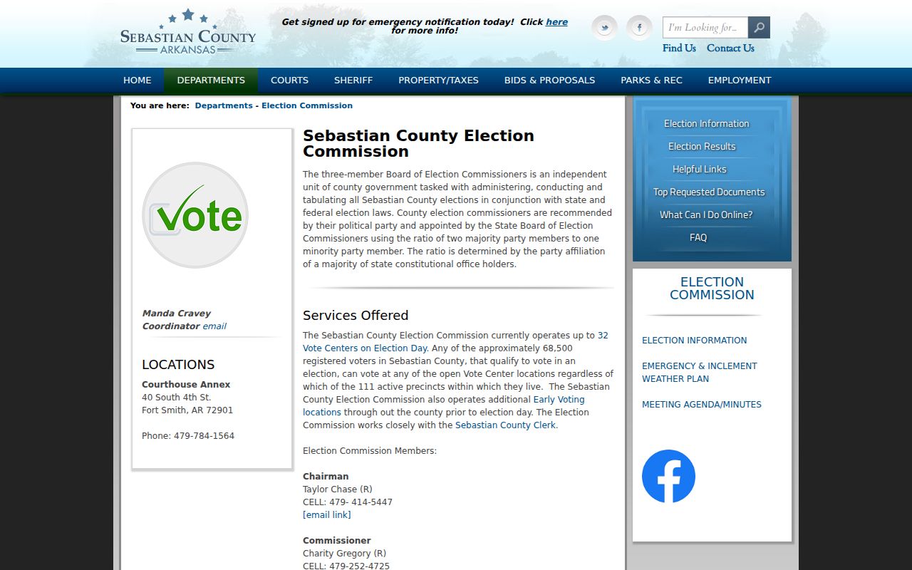
This office route supports election questions, but it does not turn voter data into a complete block list.
Arkansas secure-voter procedure under 7 CAR 23-103 makes qualifying residence addresses and supporting documents confidential. Precinct lists omit those addresses, and the clerk cannot reproduce them without authority. Never infer private details from a missing protected entry.
Fort Smith Neighborhood Civic Layers
Fort Smith has named historic areas and resident-led civic activity, but no verified citywide HOA or neighborhood membership directory was found. The official historic-area inventory includes Belle Grove, Fishback, May-Lecta-Sweet, Garrison Avenue, and Fitzgerald. The preservation plan also identifies Park Hill, Hillcrest, Lutheran Duval, and Greenwood-Fishback. These names describe district geography and history. They do not prove that someone belongs to an association.
Fishback Neighborhood Association
The city has credited the group in volunteer park work. Its public civic role does not make its membership roster public.
Neighborhood Watch
Resident-run groups can receive police training on security, reporting, and crime patterns. No official umbrella member list was verified.
Historic District Programs
Published boundaries and preservation histories explain development eras. They are not household or association directories.
Contact a group through a public-facing channel it deliberately publishes. Do not seek private rosters, congregation lists, phone trees, or internal watch contacts. Community-controlled information should stay community-controlled.
Fishback Fort Smith Neighbor History
Fishback offers a concrete example of how block history shapes a local search. The district developed after 1890. Fishback heirs subdivided the former estate after 1903, Adelaide Avenue was laid out in 1910 with 50-foot lots, and most lots were built by the late 1930s. A modern parcel map alone cannot show that sequence.
For an early block, begin with plats and deeds from the development period. Move next to Sanborn maps for building footprint and use, then to Fort Smith city directories for occupants at a publication date. Census schedules through 1950 add household evidence at a census date. Newspaper notices may identify sales, local events, or obituaries. Every source captures a different moment.
| Era Clue | Best Source | What It Adds |
|---|---|---|
| Subdivision after 1903 | Plat and recorded deed | Lot creation and legal identity |
| Adelaide Avenue in 1910 | Map, ordinance, or directory key | Street-name and address continuity |
| Building by late 1930s | Sanborn, permit, directory | Structure and dated use |
| Past households | Directory and census | Occupants at separate snapshots |
This is block history, not proof of the people living there today. Modern owner records and historic occupants must remain clearly labeled.
Read Past Fort Smith Neighbors
The Barbara Jones Walker Genealogy and Arkansas History Department holds Fort Smith directories from 1881 to the present, with gaps not fully itemized. Later street or criss-cross sections reverse the usual name search. A criss-cross directory arranges entries by street or address so a researcher can scan nearby households in one publication year. A verified 1996 Polk West Arkansas-East Oklahoma cross-reference volume is one local address-oriented example.
Use the volume's own abbreviation key. Record the exact year and page, then compare adjacent editions. A person can move between issues, a renter may be absent, and an address can change. Fort Smith's 1891 through 1897 ordinances also replaced many older named streets with the numbered and lettered grid. Park Avenue was once Kent, and Rogers Avenue was once Little Rock. Old and new street names need a dated map or directory key.
Library hard copies, partial microfilm, and librarian research provide the main access channels. Microfilm remains available during regular library hours even when the genealogy department is closed. Remote work can use the library's digitized newspaper archive, which spans 1848 through December 31, 1973 as funded and described.
Note: A directory is a dated snapshot, so it cannot confirm a move that happened between two editions.
Verify Fort Smith Neighbor Safety
Public-safety records answer narrow status questions. They should never be used as a substitute for talking with neighbors or as a claim about everyone near an address. The Sebastian County Adult Detention Center links current bookings, and its inmate inquiry permits searches by name, subject number, booking number, custody state, booking dates, and facility. The Arkansas Crime Information Center maintains separate statewide public-safety services. A booking or charge is not a conviction. The Circuit Clerk controls the actual court charge and disposition.
The county detention-center source is shown below.
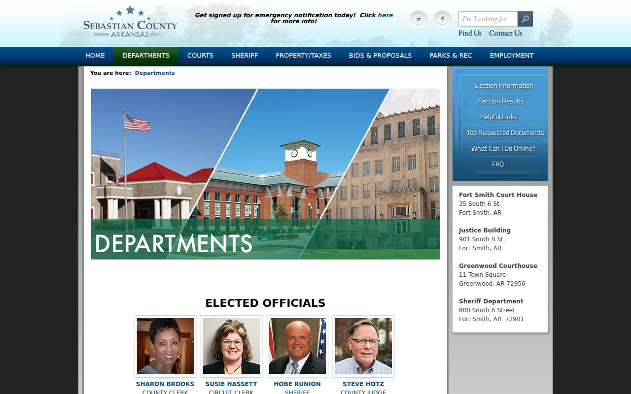
The office page routes a current-custody question, while it does not establish that a named person lives on a given block.
The linked Sebastian County inmate inquiry appears in the second source image.
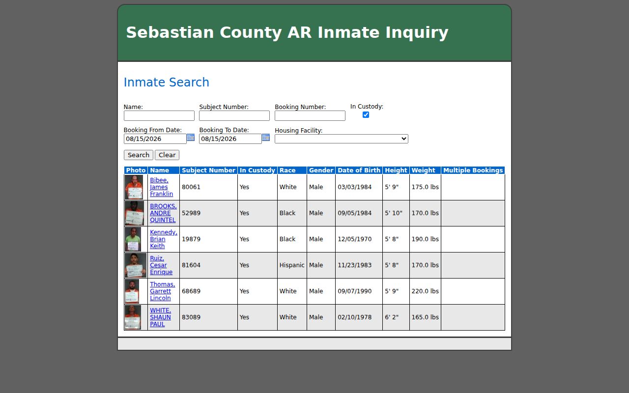
The search form supports custody research, but any result needs confirmation through the court docket and official case file.
Results can show a photo, name, subject number, custody status, race, gender, date of birth, height, weight, and a multiple-booking flag. A detail may add charge, offense date, docket, sentence or disposition fields, agency, and bond. Treat each field as a dated public record. Do not infer guilt, current home address, or risk from a name-only match.
Fort Smith Neighbor Tool Differences
Official sources are narrower than commercial neighbor tools, and that is useful. A county parcel record names an owner role tied to land. A court index lists a party in a specific case. A directory shows a dated entry. Commercial compilation tools may blend public and commercial feeds, merge same-name people, preserve obsolete addresses, or omit protected corrections.
| Source Type | Strength | Limit |
|---|---|---|
| Official parcel and court records | Named custodian, defined role, record reference | Not a full household list |
| Library directories | Dated local snapshot and street sequence | Publication gaps and moves between editions |
| Civic group pages | Public projects and contact channels | No right to private membership data |
| Commercial compilations | Possible lead across mixed sources | Unclear freshness, role, and same-name matching |
Important claims should return to the official custodian. The narrower source usually makes it easier to see exactly what a fact means and what it cannot prove.
Protect Fort Smith Neighbor Privacy
Parcel cards usually omit renters, relatives, and other household members. Utility, delivery, motor-vehicle, private club, congregation, and internal watch-group data should not be treated as a public directory. Protected voter addresses remain confidential. A historic district boundary does not identify members. An owner-mailing address is not proof of a current home.
Lawful use. Research Fort Smith neighbors for civic curiosity, block history, reconnection, or personal awareness. Never use records to stalk, harass, threaten, or intimidate.
Ark. Code §5-71-229 covers a statutory course of conduct that can include repeated monitoring, surveillance, threats, communications, property interference, and online messages. Public availability does not grant permission to track someone. If contact is declined, stop.
The most accurate result is modest: a map of public parcel roles, a set of dated historical snapshots, and published civic contacts. It is not a complete household roster. Keep uncertainty visible and verify facts with the office that holds each record.