
Fort Smith ZIP Coverage Ledger
Seven ZIP codes appear in Fort Smith research. Some sit largely within the city. Others overlap the municipal edge or serve a special postal function. The Fort Smith postal directory therefore treats each code as a starting area, not a resident roll. For an exact delivery address, the Postal Service result controls. For government jurisdiction, use city or county mapping. For ownership, move to the Sebastian County parcel record.
| ZIP | Area Served | Post Office | Local Note |
|---|---|---|---|
| 72901 | Downtown and older south-central Fort Smith | Downtown Fort Smith, 1020 Garrison Ave | Census area is essentially inside the city |
| 72902 | City-government and other post-office boxes | No area station verified | Non-area ZIP with no ZCTA polygon |
| 72903 | East-central Fort Smith | GMF/Fort Smith, 3318 S. 74th | Census area lies nearly all within the city |
| 72904 | North Fort Smith and Midland | Midland, 3100 Wirsing Ave | North-side coverage |
| 72908 | South Fort Smith and Fianna Hills | Fianna Hills, 2712 Market Trace | Census area extends partly outside city limits |
| 72916 | Southeast and Chaffee-area growth | Retail station not verified | Census area extends far beyond the city |
| 72923 | Barling and the Fort Chaffee eastern fringe | Barling, 609 Fort St | Partly overlaps Fort Smith |
Garrison Avenue anchors the older core, while Chaffee-area development reaches into the broad southeast postal geography. Those patterns explain why the same city name and ZIP may lead to different county, municipal, or delivery conclusions.
Verify Fort Smith ZIP Delivery
The USPS ZIP Code Lookup is the authority for a mailing ZIP. Its city-and-state mode can return codes associated with Fort Smith, while the address mode is the better choice for one home or business. Enter the full deliverable address as written, then preserve the result before moving to county records. A general city search cannot show whether a parcel sits inside Fort Smith's legal boundary.
The official USPS search entry point appears below.
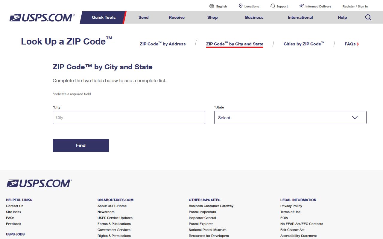
This postal result should settle mail routing, while GIS and assessor records settle separate questions about jurisdiction and land.
- Use USPS to verify the exact delivery ZIP for a known address.
- Check municipal or county mapping to learn whether the site is inside Fort Smith.
- Open the assessor record to capture the parcel, owner role, situs, and legal description.
- Once the area narrows to a named road, use the Fort Smith street directory for address-level work.
Do not force a ZIP-wide people search onto tools that lack that feature. No verified Fort Smith assessor, voter, or permit portal exposed a public ZIP-wide owner or person filter in the research.
Fort Smith ZIP 72902 Explained
ZIP 72902 behaves differently from neighborhood codes. It is used for city-government and other post-office boxes, including the city's published PO Box 1908. Census ZCTA files give it no area polygon. That means it should not be shaded as a neighborhood, treated as a parcel zone, or used to infer where a box holder lives.
A post-office box is a mail destination. It can appear in a city filing, business record, public request, or owner-mailing field while the physical site sits elsewhere. The parcel's situs address, not the box, identifies the land location. This distinction is central to any Fort Smith postal directory.
Key distinction. ZIP 72902 can identify a Fort Smith mailing channel, but it does not define a residential area or prove occupancy.
When 72902 appears in a record, look for a separate property address, principal location, event address, or legal description. If none is published, ask the record custodian for the field that identifies the physical site.
Fort Smith ZIP Boundaries Shift
Census 2020 ZCTA and place-overlap data shows why a postal code cannot stand in for the city line. A ZCTA is the Census Bureau's statistical approximation of a ZIP service area, not the Postal Service's delivery boundary. For 72908, about 17.44 million of 19.87 million square meters overlap Fort Smith. The fit is close, but not exact.
The mismatch grows in the southeast. About 31.73 million of 97.59 million square meters in ZCTA 72916 overlap the city. For 72923, roughly 16.93 million of 42.40 million overlap Fort Smith. The rest extends beyond the municipal line toward Chaffee-area and Barling geography. These figures describe area, not population, parcel count, or resident totals.
| Code | ZCTA Area | Area Overlapping Fort Smith | Search Meaning |
|---|---|---|---|
| 72908 | 19.87 million m² | 17.44 million m² | Mostly city, with an outside edge |
| 72916 | 97.59 million m² | 31.73 million m² | Large area beyond city limits |
| 72923 | 42.40 million m² | 16.93 million m² | Fort Smith and Barling fringe overlap |
Use these numbers only to understand geography. For one address, return to USPS and GIS. No ZIP population or voter counts should be inferred from the overlap.
Map Fort Smith ZIP Parcels
The Sebastian County parcel GIS answers a different question from USPS. After accepting its mapping disclaimer, select Go to Map and locate the property. The system supports parcel ownership and county layers such as school district, floodplain, zoning, and Pictometry. Its disclaimer says the map is for reference, may not update at once, and does not control legal acreage or ownership. Recorded plats and deeds do.
The county GIS access page assigned to the Fort Smith postal page is shown here.
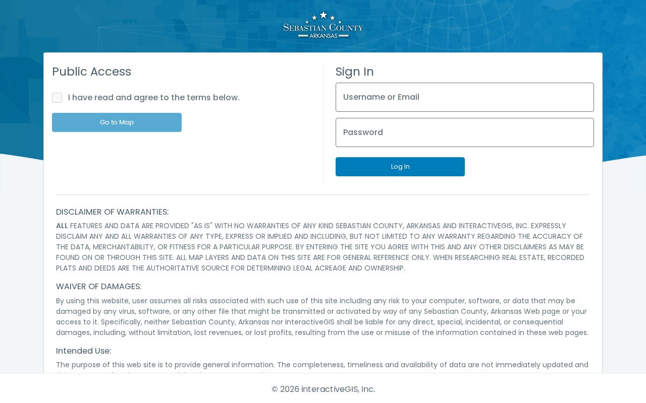
The disclaimer and map gate reinforce that ZIP geography, parcel identity, and legal land records are three separate layers.
| GIS Control | Type | Use |
|---|---|---|
| I have read and agree | Required checkbox | Accepts the public-map disclaimer |
| Go to Map | Button | Opens the public parcel viewer |
| Username or Email | Account field | Separate registered access |
| Password and Log In | Account controls | Not needed for the public map gate described |
Fort Smith Address Search Fields
Fort Smith's CityView property lookup ties an address or parcel number to city activity. Its visible Property Address field is an autocomplete box. Begin typing a street address or parcel number, then select a matching location. JavaScript is required. The interface is useful for permits, inspection status, code complaints, and related property work, but it is not a resident roster and no ZIP-wide filter was verified.
The CityView address-and-parcel screen appears below.
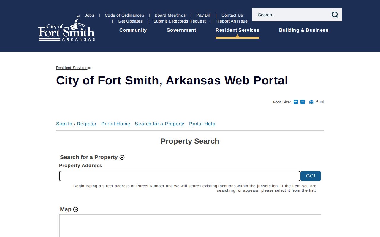
The single-location field shows why a Fort Smith postal-area search must eventually narrow to an address or parcel.
| Field | Input | Required | Format Note |
|---|---|---|---|
| Property Address | Autocomplete text | Yes | Start an address or Parcel Number, then choose the matching location |
A permit applicant or contractor named in CityView documents a role in work at the site. It does not prove that the person occupied the property.
Read Fort Smith ZIP Terms
Postal and census terms often look interchangeable. They are not. Using the right word prevents the Fort Smith postal directory from overstating what a boundary or code can prove.
- Postal code
- A Postal Service routing code associated with delivery addresses and post-office boxes.
- ZIP+4
- A base ZIP plus four digits that narrow delivery to a smaller segment, building, or group of boxes.
- PO-box ZIP
- A code used for post-office boxes rather than a mapped neighborhood, as with 72902.
- Carrier route
- A postal delivery path. It is not a city ward, subdivision, or parcel boundary.
- ZCTA
- A Census Bureau statistical area built to approximate ZIP geography for data reporting.
Research did not verify a unique Fort Smith ZIP assigned to one institution, a local ZIP realignment date, or the exact city E911 assignment authority. Those gaps should remain gaps. The seven researched codes can be described without inventing a split year or agency role.
Fort Smith ZIP Search Limits
A postal code is a useful funnel, not an identity record. It may place an address in a broad delivery area, but it cannot prove who owns or occupies a parcel. The assessor names owners, and even that roll may show a tax-mailing destination that differs from the situs. VoterView is an identity-based self-check, not a ZIP browser. Secure-voter protections can also suppress qualifying residence data.
Use the official source that matches the question. USPS resolves delivery. Census ZCTA files describe statistical overlap. City and county GIS clarify jurisdiction. The assessor links a current owner role to land. CityView links a selected address to city permits and code activity. Recorded deeds control ownership transfers and legal descriptions.
Note: A Fort Smith mailing ZIP can extend beyond Fort Smith government limits, especially in 72916 and 72923.
This layered method keeps postal geography useful without turning it into an unsupported list of households. It also preserves private data and avoids false claims about a person based on a shared code.